Russian cartographer has developed an online map of the ages of buildings in St. Petersburg, which shows more than 55 thousand objects. On the project website you can find out more about the history of its creation.
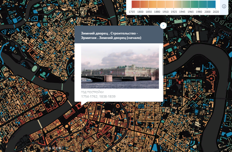
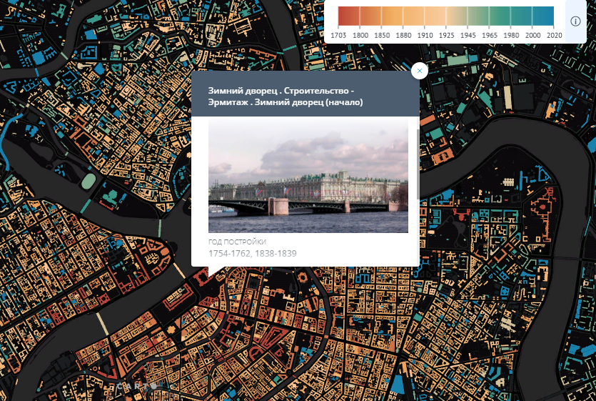
Online map of St. Petersburg buildings was developed by cartographer Nikita Slavin. The buildings have been mapped since the founding of the city to the present day. Clicking on a certain object opens the card with a photo of the building, year of construction, architectural style, architect’s name, address and a link to a more detailed description. Also the interface of the site allows you to see how many buildings were built in each decade of St. Petersburg’s existence.
The process of map creation is described in Longrid, which is published on the project website. This section contains a detailed description of the work stages — from the idea and data processing to the map color palette formation.
«Originally it was planned to create a paper folding map of the center of St. Petersburg, but gradually the project grew to a web-product», says the author of the project.
The online map was based on the materials of «CityWalls«, «OpenStreetMap» and «Open data of St. Petersburg» websites.
Source: strelkamag.com